Jammu and Kashmir Map, often referred to as “Paradise on Earth,” is a region of breathtaking beauty and rich cultural heritage. Understanding its geographical layout through a map can greatly enhance your travel experience and provide valuable insights into this stunning part of India. Lets Explore Jammu and Kashmir Map.
Located in the northern part of India, Jammu and Kashmir is renowned for its picturesque landscapes, majestic mountains, and serene lakes. The region is divided into three main areas: Jammu, Kashmir Valley, and Ladakh. Each area has its unique charm and attractions, making it a diverse and captivating destination for travelers.
Why Understanding Jammu and Kashmir Map is Important
Whether you’re planning a trip, studying geography, or simply curious about this region, understanding the map of Jammu and Kashmir is essential. It helps you navigate through its cities, towns, and natural wonders efficiently. Moreover, it provides a clear picture of the region’s topography, climate zones, and cultural divisions.
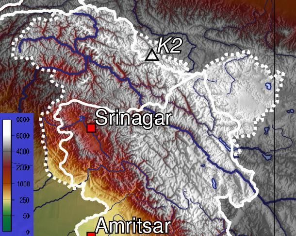
Major Regions in Jammu and Kashmir Map
Jammu Region
The Jammu region, located in the southern part of the state, is known for its rich history and cultural significance. The city of Jammu, often called the “City of Temples,” is a major pilgrimage center for Hindus. Key attractions include the Vaishno Devi Temple, Raghunath Temple, and Bahu Fort.
Kashmir Valley
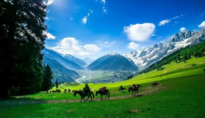
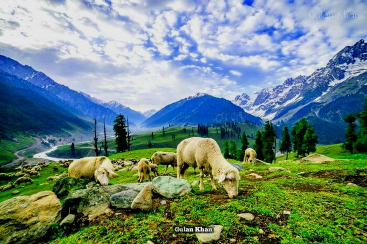
The Kashmir Valley, located in the northern part of the state, is famous for its stunning natural beauty. The city of Srinagar, the summer capital, is renowned for its beautiful gardens, houseboats, and the iconic Dal Lake. Other notable places include Gulmarg, known for its ski resorts, and Pahalgam, a popular base for trekking and adventure activities. Explore India Gate with full tourist information.
Ladakh
Ladakh, often referred to as “Little Tibet,” is located in the eastern part of Jammu and Kashmir. Known for its rugged terrain and Buddhist monasteries, Ladakh is a haven for adventure enthusiasts. The towns of Leh and Kargil are major centers in this region, offering a unique blend of adventure and spirituality.
Key Features of the Jammu and Kashmir Map
Geographical Layout of Jammu and Kashmir Map
The map of Jammu and Kashmir showcases a diverse landscape, from the fertile plains of Jammu to the lush valleys of Kashmir and the high-altitude deserts of Ladakh. Understanding this layout helps in planning your travel itinerary effectively.
Major Cities and Towns
Prominent cities like Jammu, Srinagar, and Leh are clearly marked on the map, along with other important towns and tourist destinations. Knowing the locations of these cities helps in better navigation and planning.
Natural Features
The map highlights major natural features like rivers, lakes, and mountains. The Jhelum River, Dal Lake, and the mighty Himalayas are some of the key natural landmarks that are prominently displayed.
Road and Transport Networks
A detailed map includes road networks and transport routes, making it easier to plan your journey. Highways, railways, and air routes are clearly marked, providing a comprehensive view of connectivity within the region. Explore The Glory and Beauty of Fatehpur Sikri.
Tips for Using the Jammu and Kashmir Map
Planning Your Itinerary
Using the map, you can plan your itinerary by marking the places you wish to visit. This ensures that you cover all major attractions and make the most of your trip.
Understanding Distances
The map helps you understand the distances between various places, allowing you to plan your travel time efficiently. This is particularly useful in a region like Ladakh, where travel can be challenging due to its rugged terrain.
Identifying Tourist Spots
Highlighting tourist spots on the map helps in creating a well-rounded travel plan. You can easily identify key attractions and plan your visit accordingly. Learn about Red Fort Delhi.
Conclusion
The Jammu and Kashmir Map is more than just a geographical tool; it’s a gateway to exploring the rich cultural and natural heritage of this beautiful region. By understanding its layout and features, you can enhance your travel experience and make the most of your visit. Whether you’re drawn to the temples of Jammu, the valleys of Kashmir, or the monasteries of Ladakh, the map will be your guide to discovering the paradise that is Jammu and Kashmir.
Related Posts
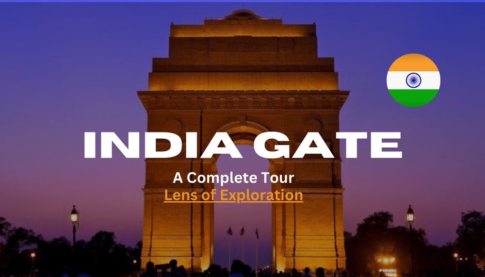
Exploring India Gate: An Iconic Symbol of India’s Rich Heritage
India Gate, an architectural marvel and a national symbol, stands majestically in the heart of New Delhi, India. This grand monument is not just a historical landmark but a testament to India's rich heritage and the valor of its soldiers. In this article, we will delve deep into the history,…

Gjirokastra Exploration of Albania’s Stone City
Nestled in the heart of southern Albania lies the enchanting city of Gjirokastra, often referred to as the "Stone City." This UNESCO World Heritage Site is a living testament to Albania's rich history, culture, and architectural brilliance. With its cobbled streets, majestic stone mansions, and the imposing Gjirokastra Castle, the…

Discover the Best Hotels in Naran Valley
Nestled in the heart of Pakistan's northern beauty, Naran Valley is a true paradise for nature lovers and adventure seekers. Whether you’re planning to explore the stunning landscapes, hike through lush forests, or simply unwind by the serene waters of Lake Saif-ul-Malook, finding the right place to stay is key…